The deserts are bioclimatic landscapes (biomes) characterized by having a very low rate of precipitation and narrow humidity margins, which affects dry, windy and arid climates. For instance: Atacama Desert, Gobi Desert, Kalahari Desert.
For that reason they are thought to be short of life, although this is not necessarily true: flora (xerophilous) and fauna (even human populations) have often known how to adapt to harsh living conditions.
Deserts occupy almost one third of the earth’s surface, which represents an area of 50 million square kilometers, of which 53% are hot deserts and the rest are cold. In both, wind erosion and solar radiation are usually intense, so the soil is usually sandy, stony or rocky, or in the case of the polar deserts of the Antarctic, constituted by a dense layer of ice.
Culturally the desert plays a big role in the imaginary world of humanity, as a space of asceticism, deprivation and, often, exile.
Examples of deserts
- Sahara desert. It is the warmest desert in the world and the third largest in extension, with 9,065,000 km2 of surface, almost equivalent to the size of China or the United States. It extends throughout North Africa, throughout the countries of Algeria, Chad, Egypt, Libya, Morocco, Mauritania, Mali, Niger, the Sahrawi Arab Republic, Sudan and Tunisia.
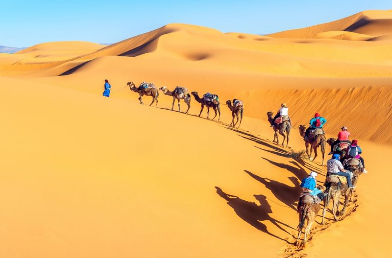
- Guajira desert. Located between the north of Colombia and the extreme west of Venezuela, it includes the Guajira peninsula, home to the Wayuu aboriginal cultures and a particular desert flora and fauna. It has a constant climate of around 27 ° C and in its interior is the Macuira National Park, 25,000 hectares in size.
- Siloli Desert. Found in southwestern Bolivia, department of Potosí, it is often considered an extension of the Atacama desert. It is a frequent tourist route, since it is the prelude to the famous Salar de Uyuni and around it there are numerous colored lagoons, as well as the characteristic rock formations resulting from wind erosion.
- Atacama Desert. This is the driest non-polar desert on the planet, located in the north of Chile and with an approximate area of 105,000 km2. It is found between the Andes Mountains and the Pacific Ocean, and is rich in mineral resources such as copper, iron, gold and silver, as well as other non-metallic resources of industrial value.
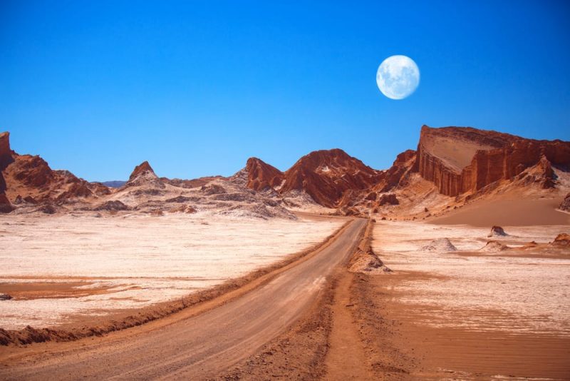
- Gobi desert. This desert region to the south of Mongolia (occupies 30% of the territory of this country) and north of China is one of the largest known. Although the region includes a climatic and ecological diversity, the desert is the product of a orographic shadow, that is to say, of the desiccation of the coastal wind when overcoming the Altai mountains that surround it. The Gobi is a well-known source of archaeological and paleontological matter.
- Antarctic polar desert. Most of this frozen continent is under a gigantic inlandsis, that is to say, a layer of ice that covers the ground and whose average thickness is 2,500 meters, reaching 5 kilometers in some regions of Antarctica. Given the low temperatures, almost all the water in the region is frozen or in the form of snow, so precipitation is rare. Paradoxically, this desert houses almost 80% of the planet’s fresh water.
- The Ischigualasto. Located in the province of San Juan, Argentina, it is known as “The Valley of the Moon” and is an arid area of 62,916 hectares, declared by UNESCO as a World Heritage Site, given its geological and paleontological importance. It is the only place in the world where the layers of the Triassic period are fully and neatly exposed and a place with an extremely particular appearance, given the particular wind erosion and the curious materials on display.
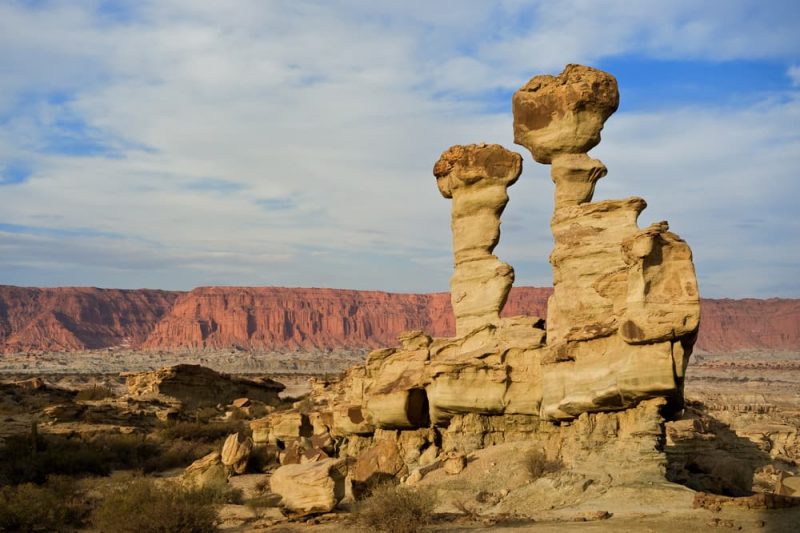
- Namib desert. African desert that is found along the coast of Namibia, with a length of 2,000 km and a width between 80 and 200 km. It extends between the countries of Angola, Namibia and South Africa, and is considered the oldest desert in the world, since it already existed 65 million years ago, at the time when the dinosaurs became extinct.
- Arctic circle. Unlike Antarctica, the North Pole area has no land on which to settle, but is a large floating sea ice cap. However, in the northern fringe of countries such as Greenland or Iceland, an extreme form of frozen tundra prevails, classified as the polar desert, which presents a minimum of rainfall and vegetation, due to the permafrost (soil freezing) invariable throughout the year.
- Andean Puna. This is the name of the Andean highlands, a high mountain plateau typical of the Andean mountain range. Common to various nations such as Chile, Argentina, Bolivia, and Peru, it is often referred to as high Andean tundra due to the cold and dry climate, of high altitude, that it presents in its highest parts, becoming quite arid given the minimum threshold of annual rainfall that it presents.
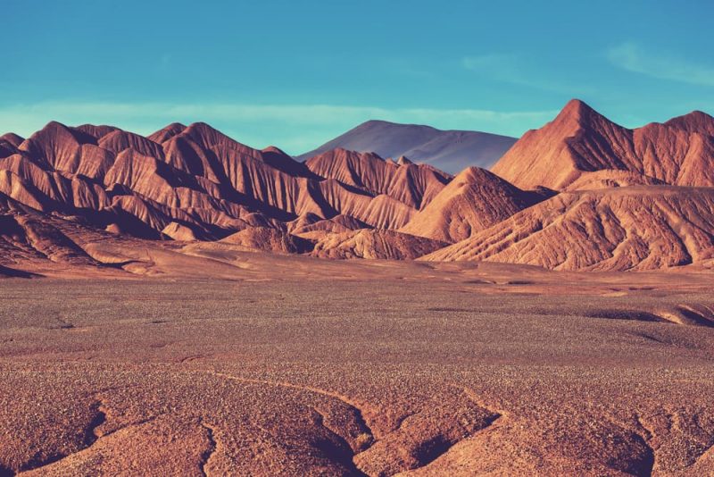
- Medanos de Coro. National Park located near the city of Santa Ana de Coro in Venezuela. It is characterized by an arid climate similar to most of the region, but with the presence of several kilometers of soft and dry sand dunes that can exceed two and three meters in height.
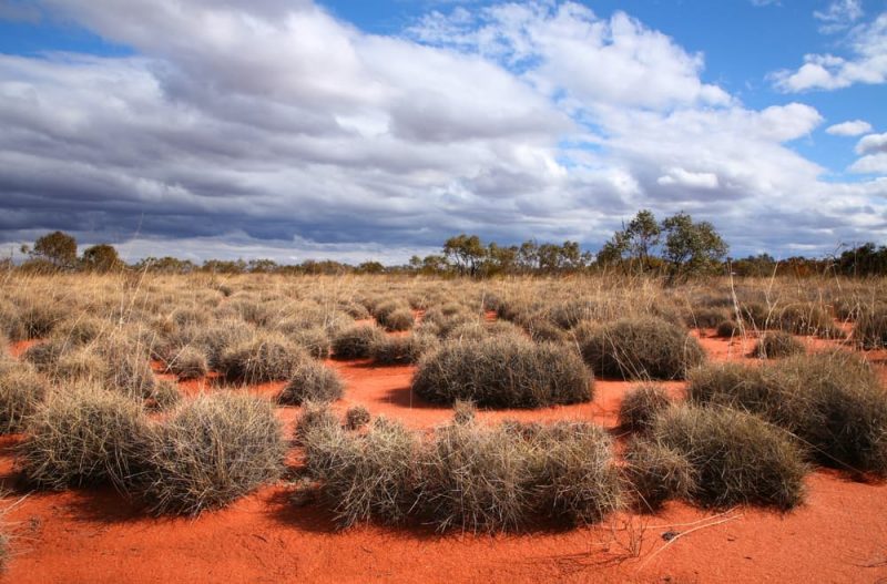
- Gibson Desert. Located in western Australia, it has about 156,000 km2 of sandy and parched surface, populated by kangaroos, emus and by aboriginal tribes. It has a minimum margin of annual rainfall that makes it unviable for the development of human activities other than tourism.
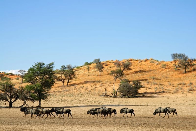
- Kalahari desert. Its almost 260,000 km of extension cover much of Botswana, Namibia, South Africa and Zimbabwe, and are recognizable for their red sand and wide variety of flora and fauna, since at certain times of the year there can be frequent rainfall. The Bushmen inhabit its borders, an ancient culture of native hunter-gatherer peoples.
- Chihuahuan Desert. Its 450,000 km2 make it the largest desert in North America, covering almost 36% of the total area of the subcontinent. It is located on both sides of the border between Mexico and the United States, so it has acquired an important political symbolism.
- Arabian desert. This is the name given to the Sahara strip located between Egypt, Sudan, Ethiopia and Eritrea, and which extends from the Nile River to the Red Sea. It is a region rich in mineral resources, but with extreme climatic conditions: up to 54 ° C during the day and around -12 at night.
- Great Victoria Desert. This southern Australian desert is about 700km wide and features small sand dunes and saltwater lakes. It was named in honor of Queen Victoria of England after the British Ernest Giles crossed it for the first time in 1875.
- Arabian desert. It should not be confused with the previous one: this case is about an arid region in the Arabian peninsula, of about 2,330,000 km2 of surface, whose third part is covered with sand and presents the most inhospitable climate of the planet, without any body of water in the vicinity. It covers mostly Saudi Arabia, but also Jordan, Iraq, Qatar, Bahrain, Kuwait, Oman, Yemen, and the United Arab Emirates.
- Lop Nor Wilderness. It is found in East Asia, in the Chinese region of Lop Nor. It is presumed that in the past the region has been a gigantic swamp, which with the passage of time became a hard, clayey soil, dotted with fine gravel. It is completely flat and has an average temperature of 50 ° C.
- Gurbantünggüt Desert. Elevated between 300 and 600 meters above sea level and extended for about 48,000 km2, it is the second largest desert in China. It is located in the Zungaria basin, where it receives the cold and humid Siberian air, which allows for precipitation and winter frosts. In this region there is also the pole of inaccessibility of the earth, that is, the area furthest from any form of sea.
- Taklamakan Desert. With dunes ranging between 100 and 300 meters high, this desert located in Central Asia occupies an area of 270,000 km2 and it has been the site of archaeological finds, such as mummies over 4,000 years old.
